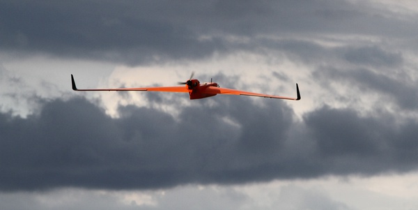
The RenovRisk project is an integrated and innovative research project, on natural hazards associated with tropical cyclones in the South-West Indian Ocean. The CNRM (Centre National de Recherches Météorologiques) operated Boreal's UAV in order to gather atmospheric data.
Boreal's UAV flew more than 250km in 7-8 hours, over the South-West Indian Ocean from Réunion island! ATMOSPHERE's Satellite Communication (Satcom) system provided connectivity to the UAV beyond visual line-of-sight (BVLOS).
The next flights are already planned, to study cyclones in the Indian Ocean.
Details (in French) :
https://www.umr-cnrm.fr/spip.php?article1088
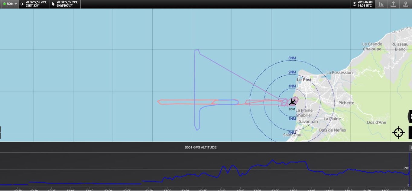
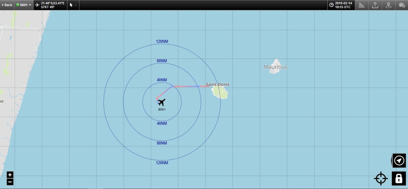
Flight tracking on the PLANET service display
PLANET terminal (Satcom)
PLANET Terminal Datasheet (v.2.1)
![]()


